New Jersey Interactive and Label-me Maps

New Jersey Interactive Map

New Jersey Interactive Map

This is a new type of AI-powered interactive map we are testing that comes with a built-in scavenger hunt, zoom features, and much more.


Make Your Own New Jersey Map

Make Your Own New Jersey Map!

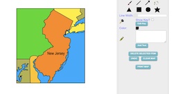
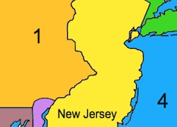
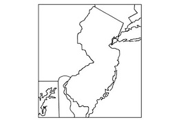
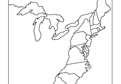
Use our colorful Maptivation program to make your own customized New Jersey map. You can fill in New Jersey and surrounding states with colors, add labels, landscapes, a key, and much more!


New Jersey Label-me Map

New Jersey Online Label-me Map

Use the pull down menu to select the correct label for each number.


New Jersey Label-me Map

New Jersey Printable Label-me Map

This activity requires students to label New Jersey's surrounding states and major waterways.


New Jersey Outline Map

New Jersey Outline Map

This is a New Jersey outline map for students to label and color.


Mid-Atlantic States

Mid-Atlantic States Interactive Map

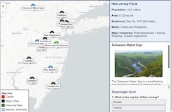
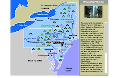
This interactive map allows students to learn all about the states, cities, landforms, landmarks, and places of interest in the Mid-Atlantic states by simply clicking on the points of the map.


Mid-Atlantic Label-me Quiz Online

This is an online quiz that requires students to identify the Mid-Atlantic states.


Maryland Printable Label-me Quiz

Mid-Atlantic Printable Label-me Quiz

This is a printable activity that requires students to identify the Mid-Atlantic states.


Label-me Map

13 Colonies Printable Blank Map

Blank 13 Colonies Printable Map.