The 49th Parallel |
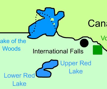
Murky BoundariesDespite its withdrawal from much of America after the War of 1812, Great Britain still controlled much of Canada. The boundaries between American territory and British Territory, however, were often subject to interpretation. In an attempt to establish diplomatic relations, the United States and Great Britain agreed to define the boundaries between territories along the 49th parallel at the Anglo-American Convention of 1818. This division defined British territory as most of Canada (north of the 49th parallel), and American territory as the Red River Basin (this includes the portions of Minnesota and North Dakota as shown on the map) south of the parallel (the southernmost portion of a huge area known as Rupert's Land). Land west of the Rocky Mountains, known as Oregon Territory, was open to both the Americans and the British. Creation of the Northwest AngleThis agreement corrected a geography error made in 1783 that defined the east/west border of the United States and Great Britain as between the Lake of the Woods in northern Minnesota and the Mississippi River. Because the source of the Mississippi River was well south of Lake of the Woods, the corrected border resulted in what is known as an exclave - a projection of land surrounded on three sides by the land of another country. This exclave, in northern Minnesota, is the only portion of the United States (other than Alaska) north of the 49th parallel. It is called the Northwest Angle. Murky BoundariesAfter the War of 1812, Great Britain still controlled much of Canada, but the borders between U.S. and British lands were unclear. In 1818, both countries agreed to set the border along the 49th parallel: Canada stayed north of it, and the U.S. claimed land south of it, including parts of Minnesota and North Dakota. The Oregon Territory, west of the Rockies, was shared by both. Creation of the Northwest AngleA map mistake in 1783 led to confusion about the U.S.–British border near the Lake of the Woods. When fixed in 1818, it created a small area of U.S. land north of the 49th parallel, called the Northwest Angle. It is the only part of the U.S. outside Alaska that is north of that line. |